Cultural Environment
Nature routes
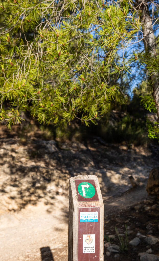
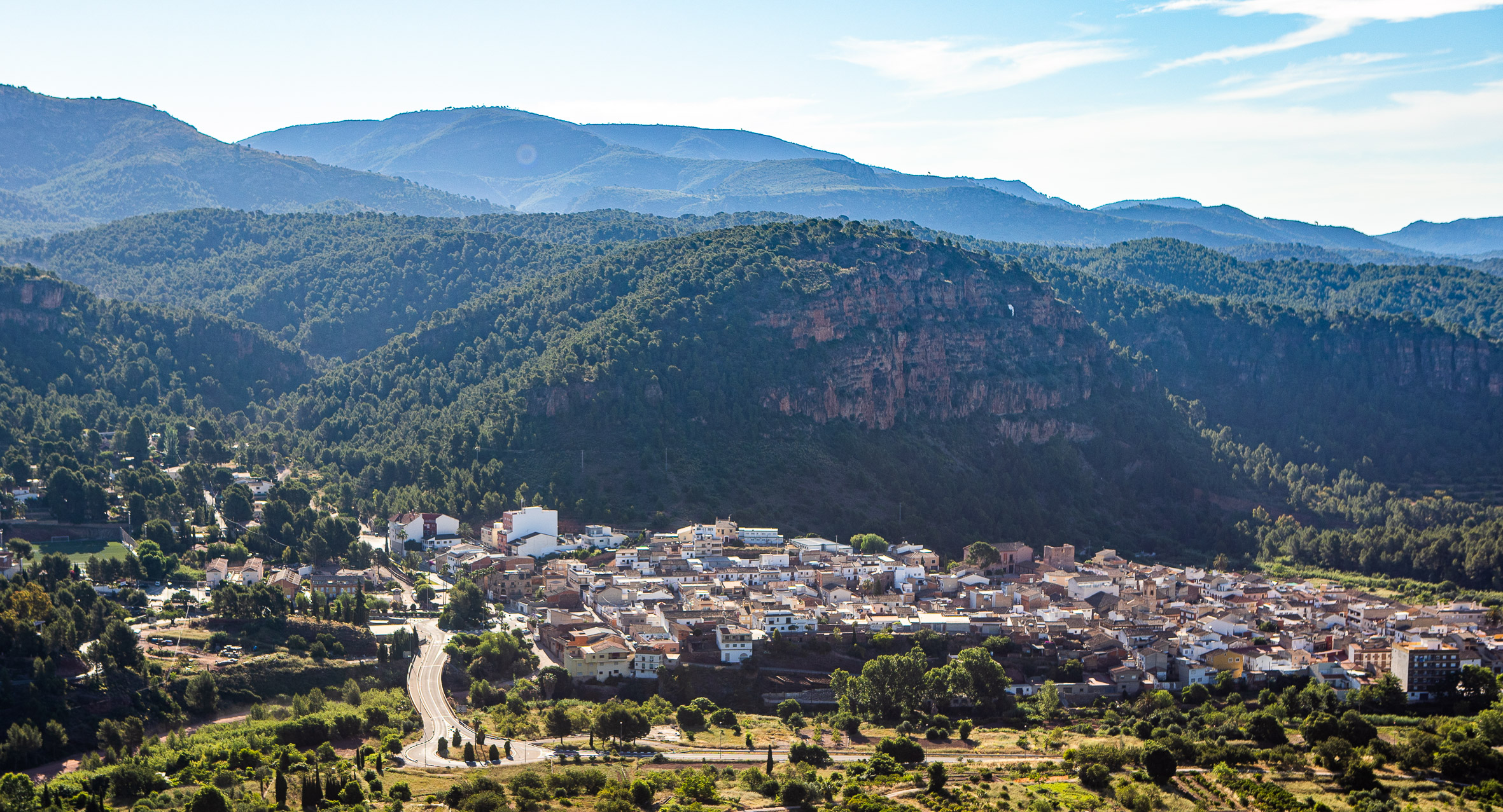
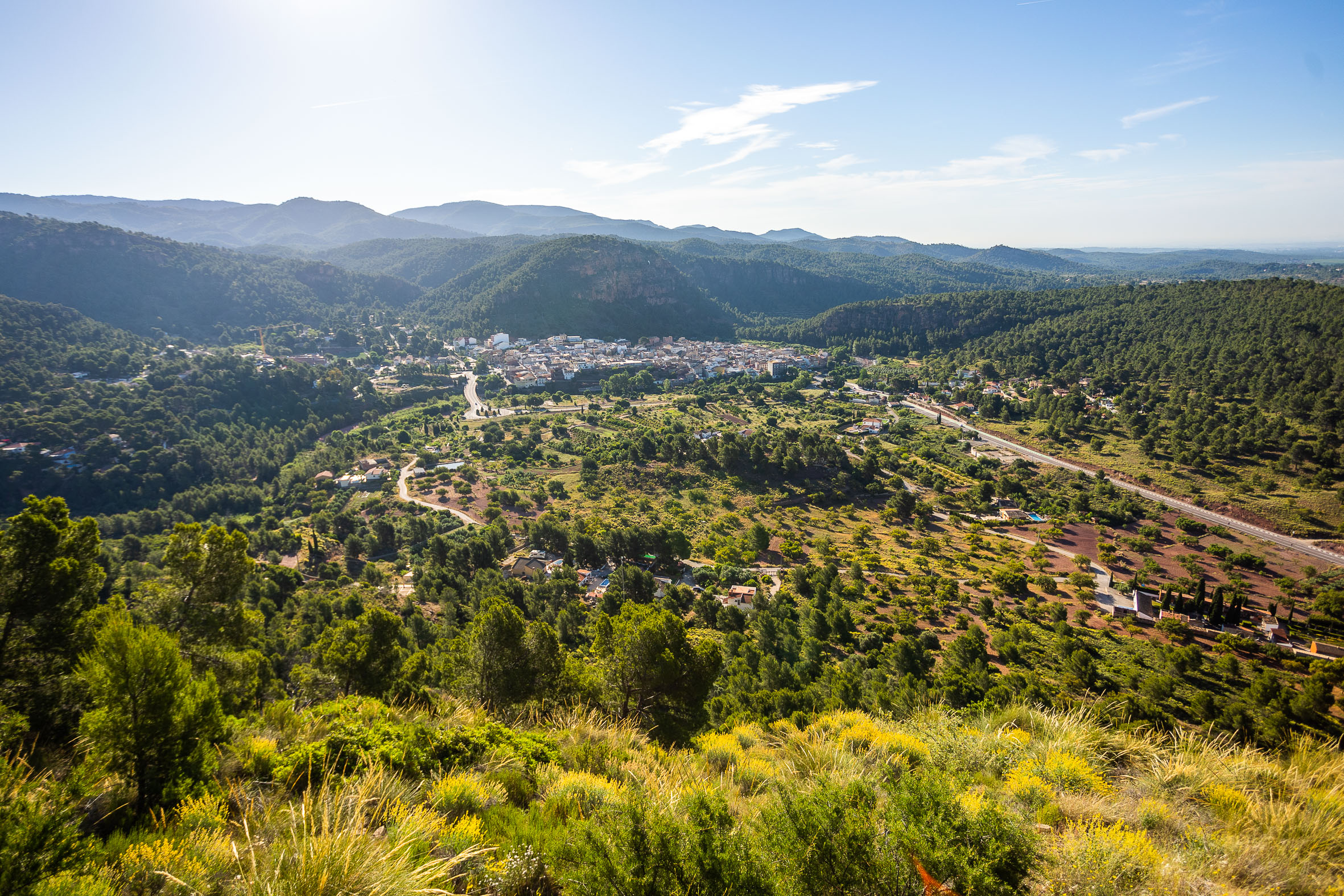
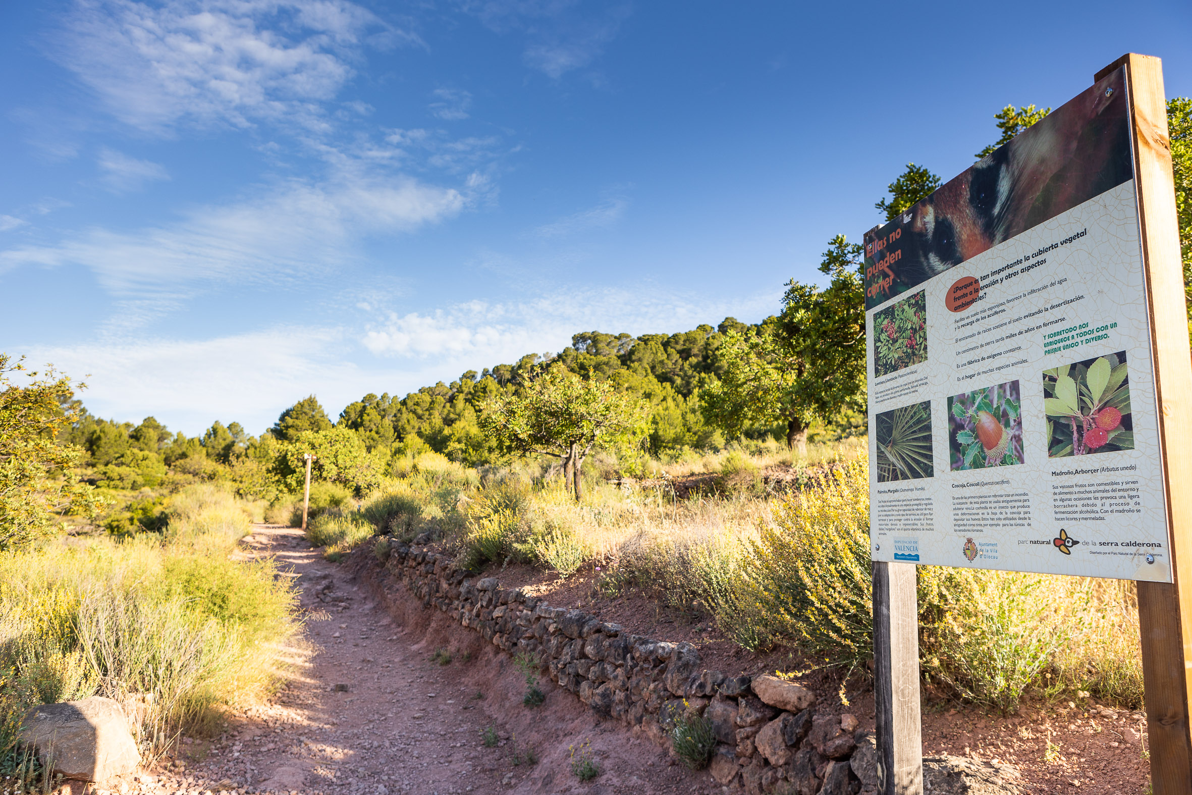
One of the main attractions for visitors are the extensive forests of the municipality, located within the Natural Park of the Sierra Calderona, for hiking and breathing fresh air. The PR CV8 runs through Olocau and we also have 7 signposted municipal routes:
Fountains Route: Easy and accessible circular walk, of only 1 hour and 3.3 km long, which runs through the town center and its surroundings, showing its most remarkable sources. Some examples that are known on this route are the Font del Frare, the Font de la Salud or the El Arquet aqueduct.
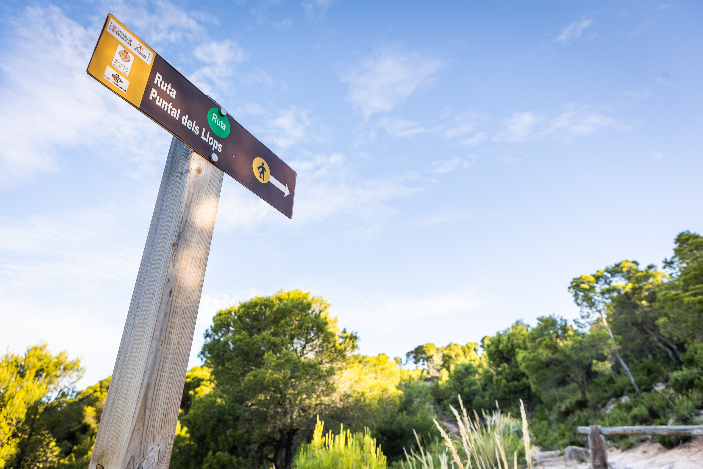
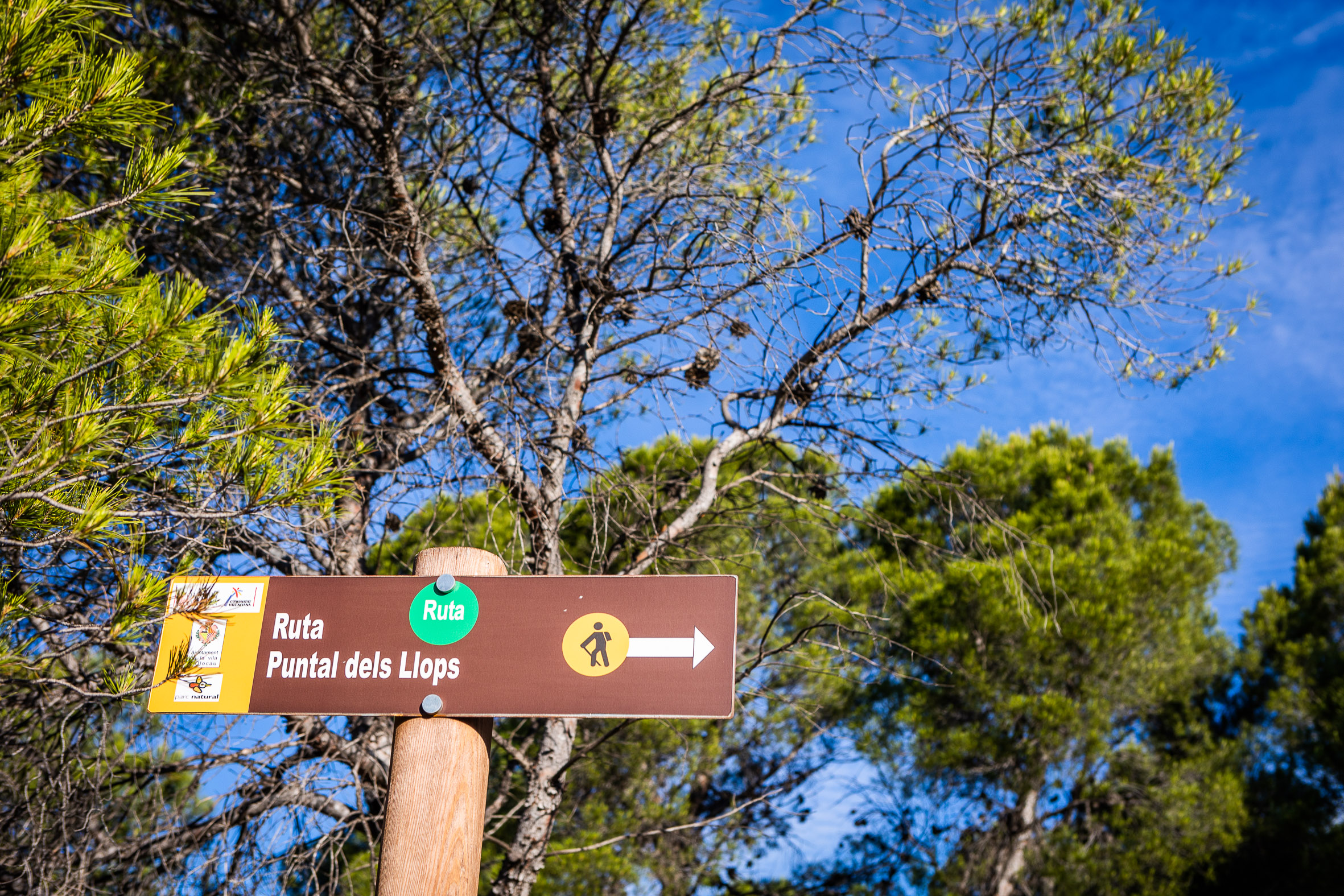
Route of 6 km distance, easy, but with some slope, in which we visit an Iberian settlement of the 5th century BC located on one of the southern cliffs of the Sierra Calderona, the Puntal dels Llops.. Free guided tours are available upon reservation.
Route of the Macollades: Circular route of 6 km distance with little gradient, where you cross the group of centenary carob trees called Macollades and the orchard landscape of the municipality. On the way, the route runs along the banks of the Barranco of Carraixet, where there is a stretch that must be crossed by ropes.
Route of the Castillo del Real: Circular route by forest track of 7.5 km distance and low difficulty, which runs through the Natural Park of the Sierra Calderona and where you can visit the Castillo del Real, an ancient fortress of the XI century that dominated the valley and mountains.
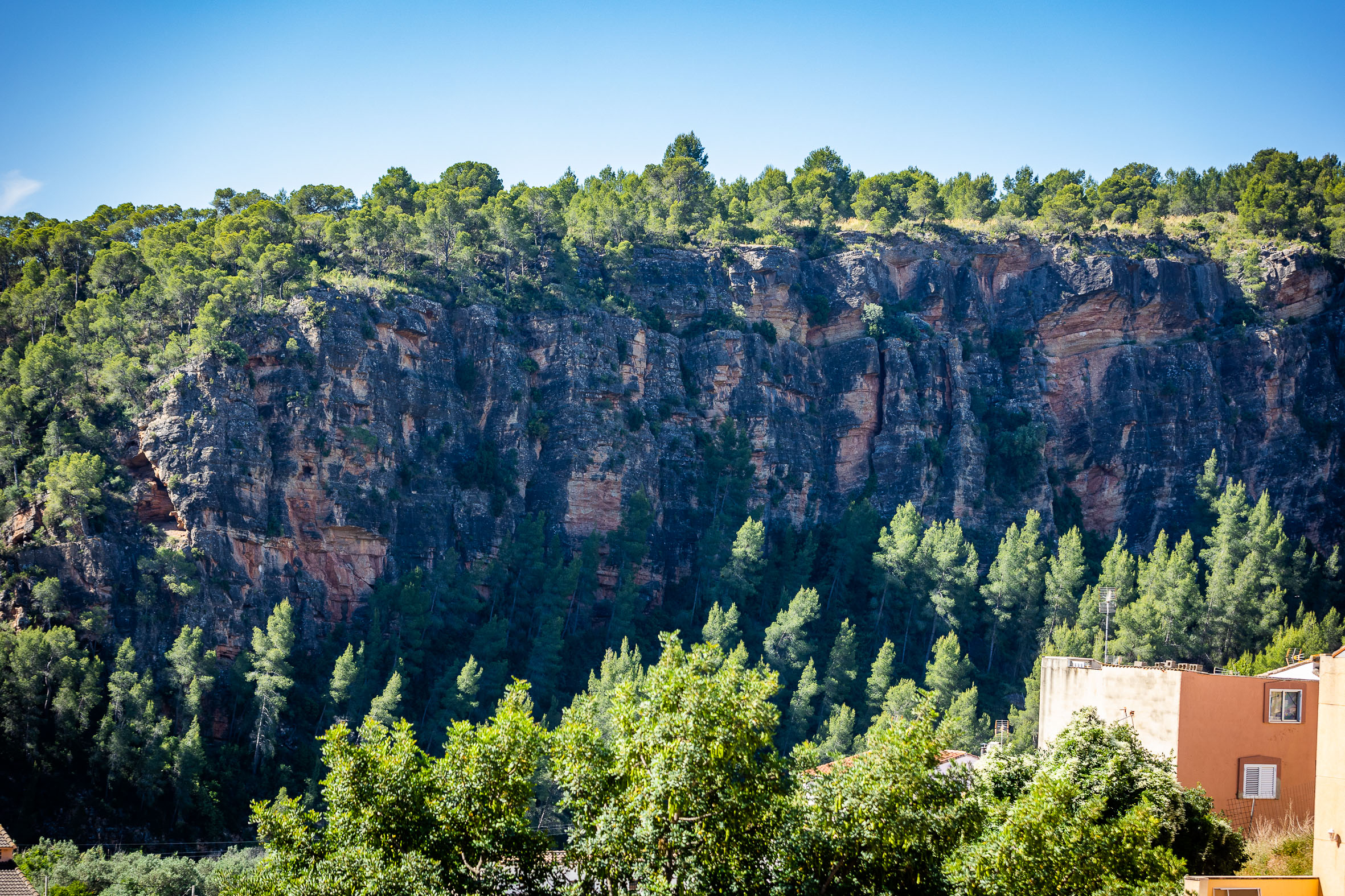
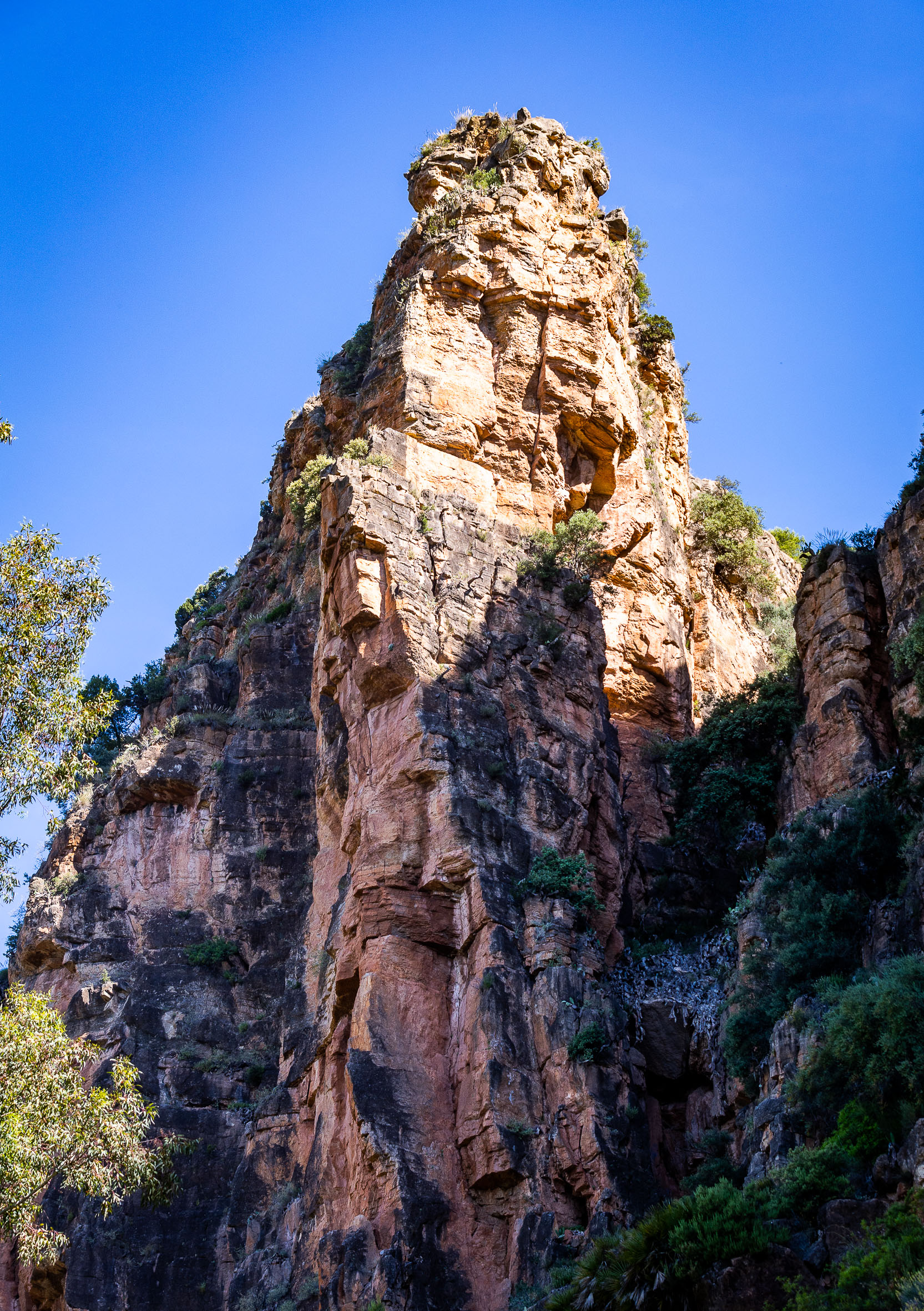
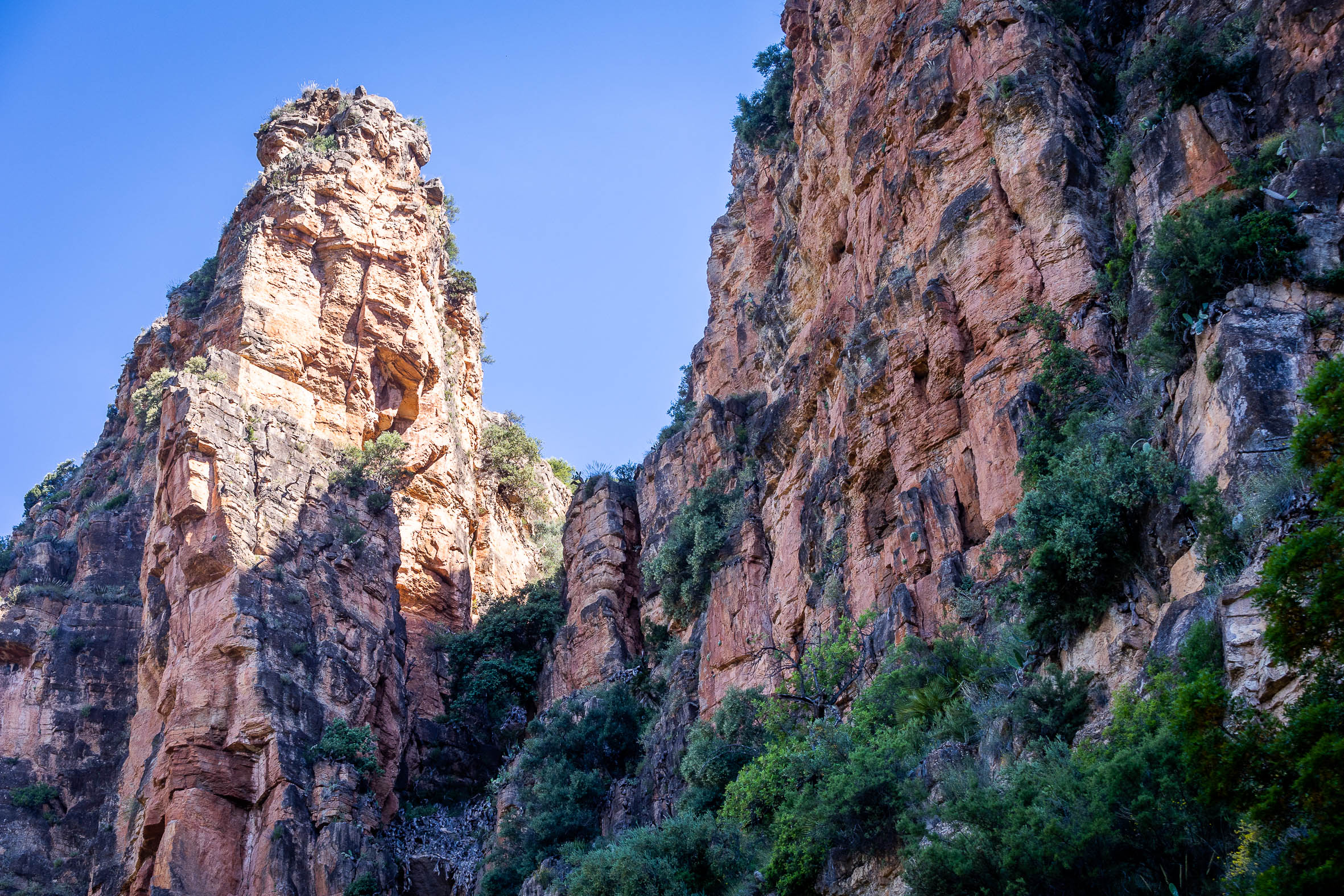
Geological Route: Circular route in the Sierra Calderona Natural Park around the mountains and the crag of Alí Maimó. It is 8 km long and of high difficulty, but can be cut in half. Here you can see marine fossils or other sedimentary formations..
Rodeno and Amitges route: Circular route in the Sierra Calderona Natural Park that combines forest track and path, 13 km long and of high difficulty. During the route you can appreciate panoramic views of the mountain’s rocky rock and impressive geographical features.
Pedralvilla Route: A low difficulty route of 12 km, which runs along the limits of the Sierra Calderona Natural Park and the Carraixet Ravine.. Along its route it crosses very diverse landscapes, in which dry farming and dry stone constructions stand out.
Olocau Tourism Routes
Pedralvilla Route 11,45 kilometers – Easy
The Geologic Route d’Olocau 9,95 kilometers – Hard
de les Fonts Route 3.2 kilometers – Easy
Route of Rodeno i les Amitges 12.52 kilometers – Hard
Ruta de les Macollades 4,93 quilometers – Easy
Castell del Real route 7.43 kilometers – Moderate
Puntal dels Llops Route 5.64 kilometers – Easy


