Cultural Environment
Monumental trees
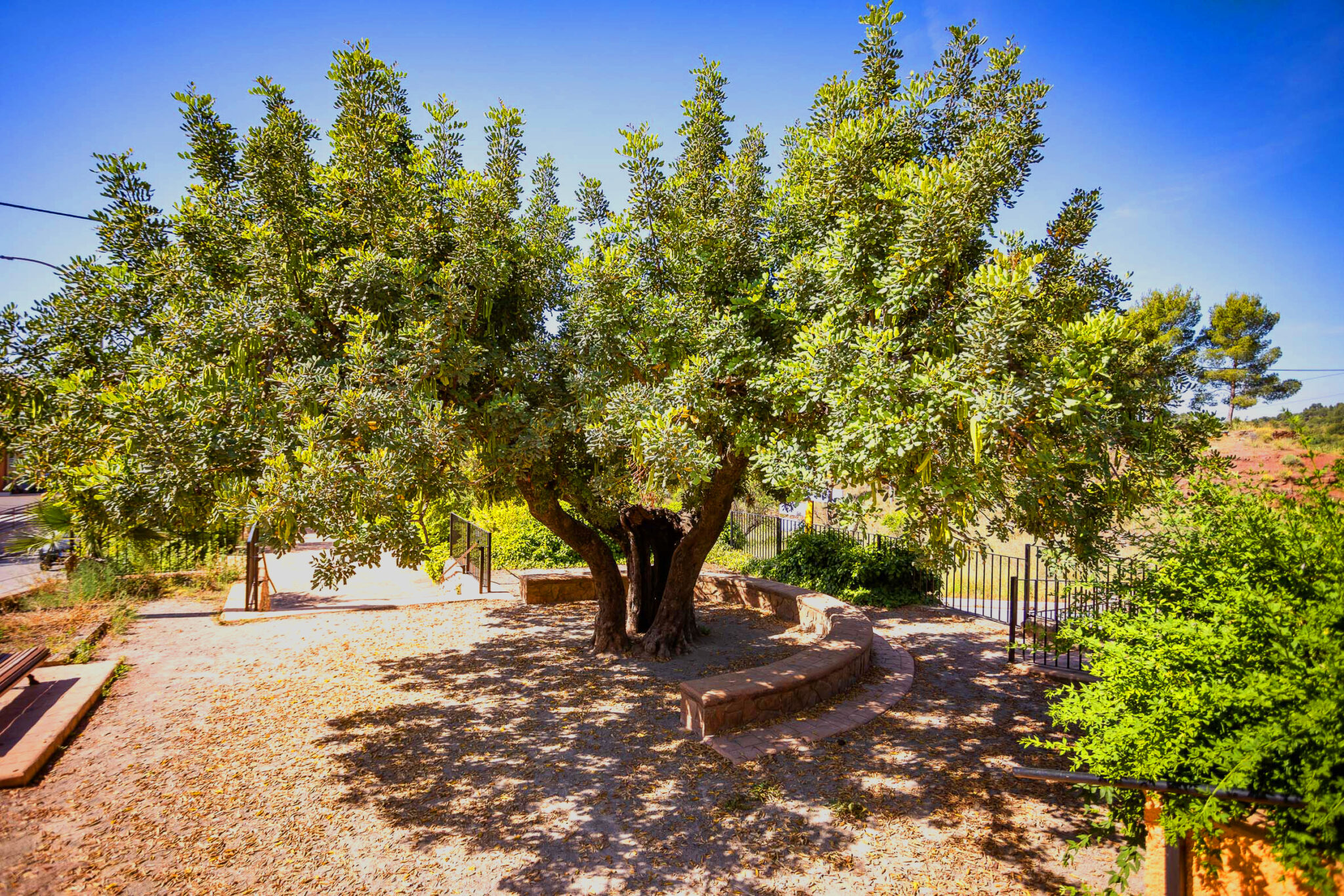
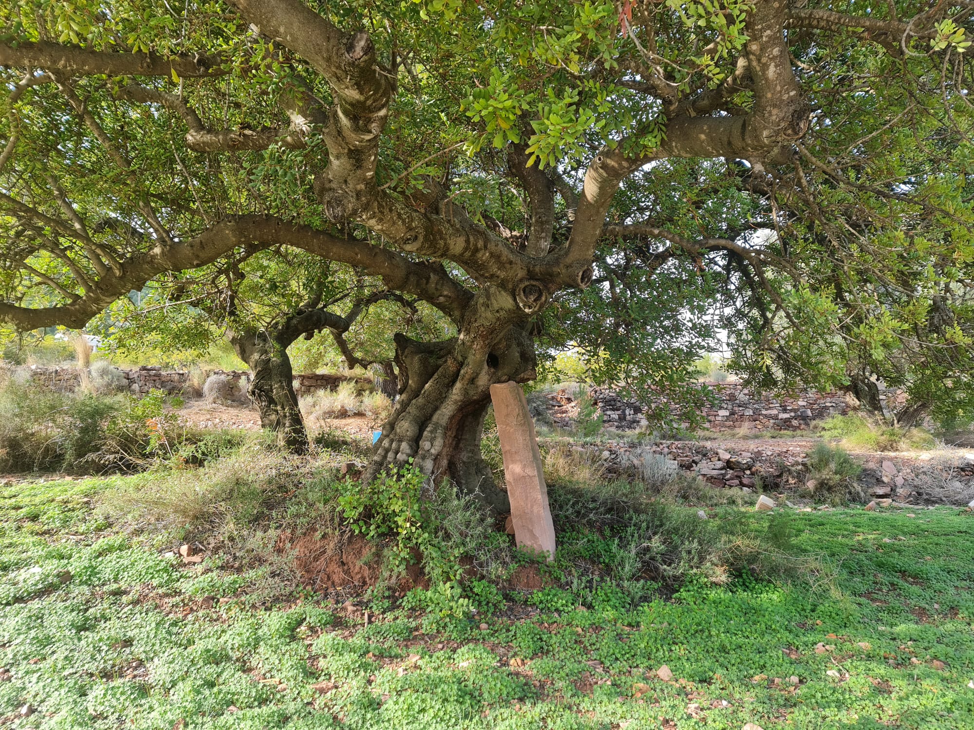
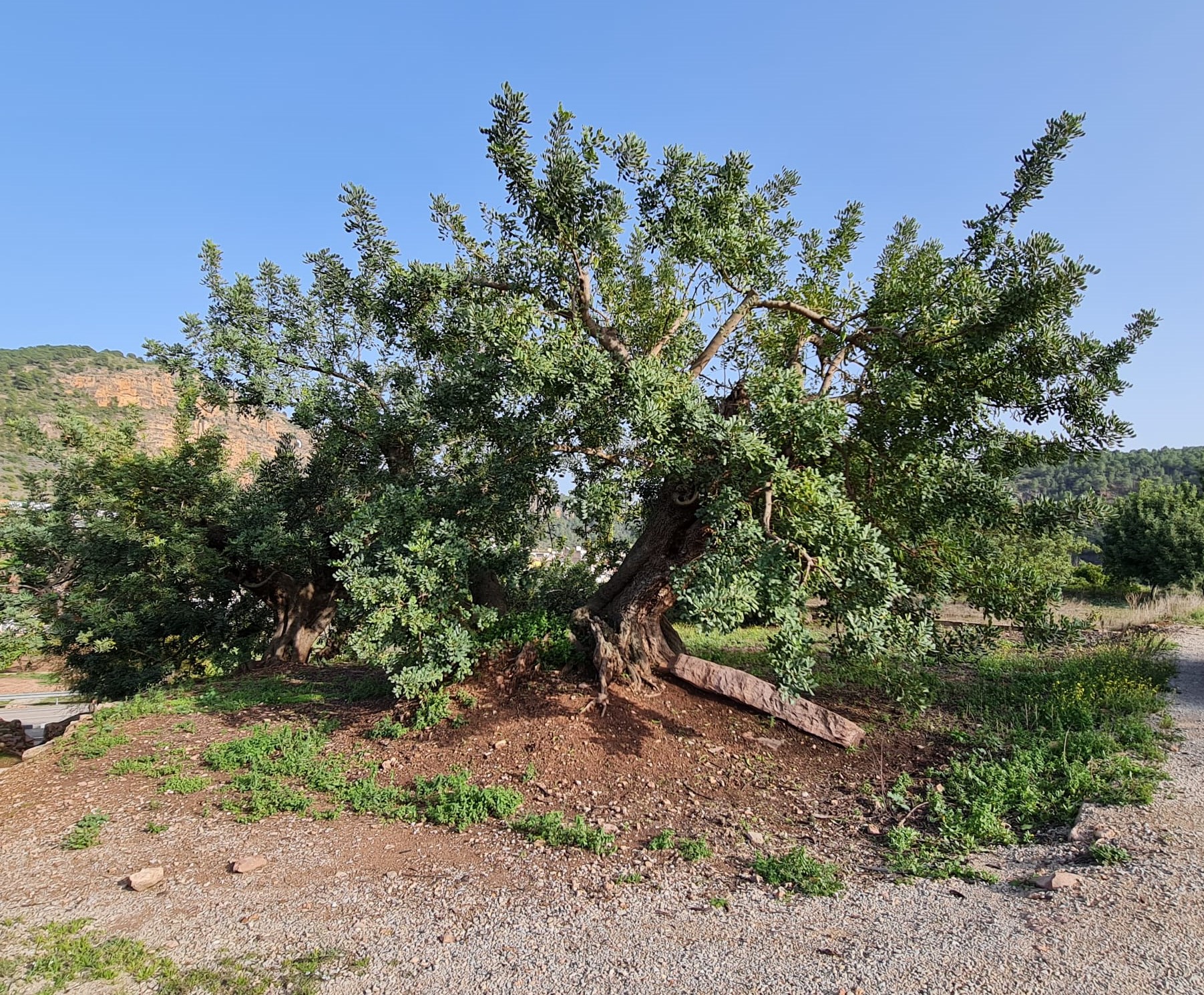
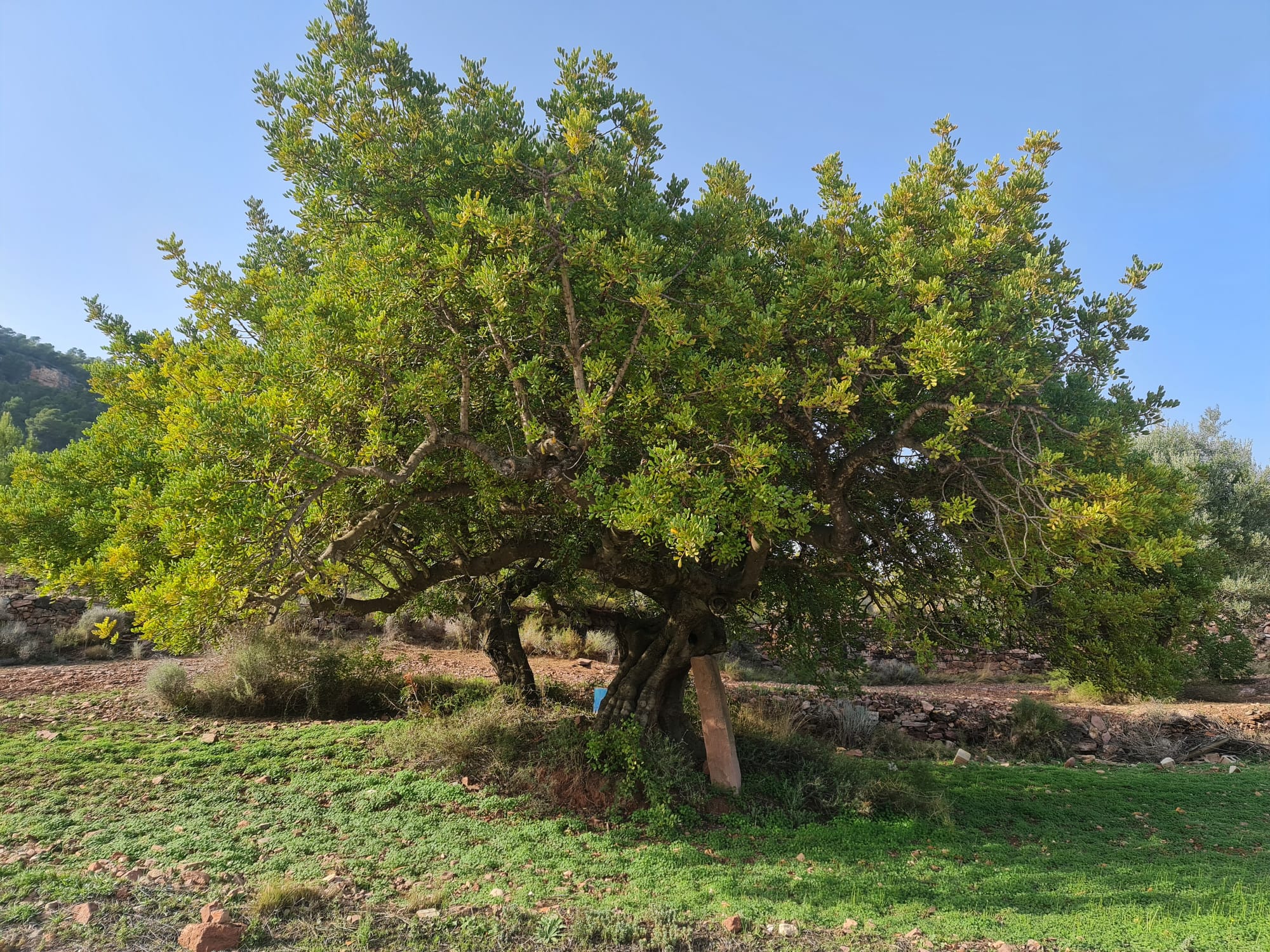
In Olocau they are known as macollades to the group of centenary carob trees with thick and reinforced trunks. There are four concentrations in the areas of l’Edua, l’Amara, la Barrancà and l’Aigualeig. The Macollades route passes through all of them and allows us to observe their diversity of shapes, colors, shadows and the different stone solutions used by farmers to support their heavy branches without breaking them.
Macollades Route
Discover the largest grove of macollades in Europe, the irrigated lands of Olocau and the Carraixet ravine.
It is a circular route of moderate-high difficulty, 5.60 km and 40 meters of elevation gain. It starts at the Casa de la Senyoria and after crossing the town center and the Carraixet ravine, it reaches l’Horta de Dalt, an irrigated area of Olocau where we will discover the macollades de la partida de l’Edua. Along the way you can see different ethnological elements that, together with the macollades, will help us to understand the agricultural past of Olocau. Leaving the cultivation area, we arrive at the Amara pond, the old Olocau washhouse and current irrigation pond of the agricultural area.
The next section follows the edge of the Carraixet ravine up to the macollades of Barrancà and Aigualeig. In this section it runs alongside the irrigation ditch, with the accompanying sound of water and birdsong in the background. Between the two is the Noria dels Simeons, a ditch moved by mules that was used to raise water and irrigate the nearby terraces until the end of the nineteenth century.
The route continues with a section of the Carraixet ravine where it is necessary to lean on ropes inserted in the limestone that serve as a grip. On the way back to the village, the route shares a stretch with the old medieval road to Marines and ends again in Olocau.


